The County Government of Uasin Gishu is rolling out a new land policy designed to address the growing issue of land fragmentation.
The Department of Lands, Physical Planning, Housing, and Urban Development is spearheading the initiative.
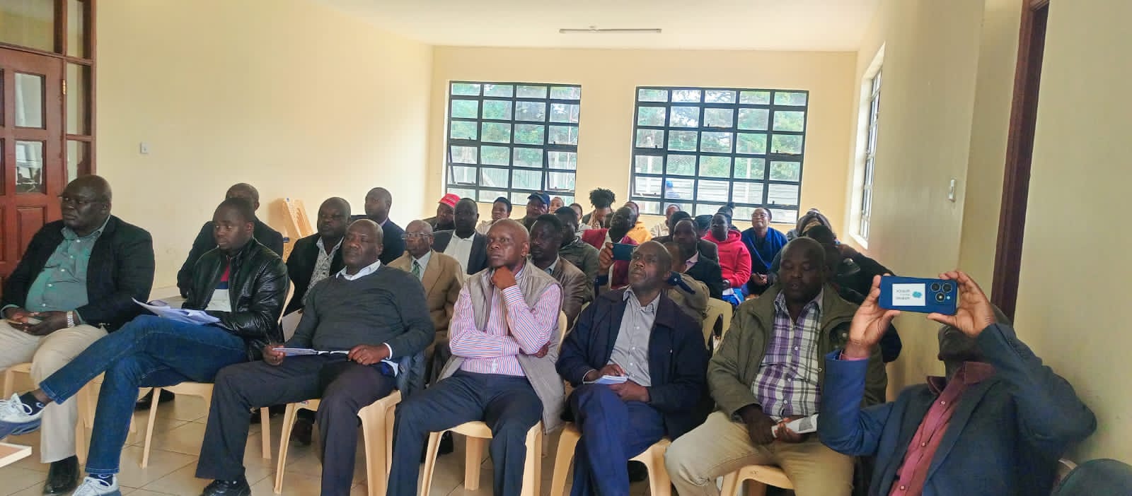
On Wednesday, January 29, 2025, the draft policy was presented in Kapseret and Kesses Sub-Counties, and residents turned out in large numbers to provide input into its development.
The policy, which aims to promote land consolidation, comes at a critical time as the county grapples with the challenges posed by the increasing subdivision of agricultural land due to urban expansion and population growth.
Why land fragmentation is a concern in Uasin Gishu
Land fragmentation has become a significant concern for Uasin Gishu, a county known for its high agricultural potential.
Small, fragmented plots have made it difficult for farmers to maintain productive and sustainable farming operations, reducing agricultural efficiency in the county.
The new policy aims to encourage land consolidation as a solution to this issue, allowing farmers to pool their land together for more productive and viable farming operations.
Ms Linda Achieng, the Food and Agriculture Organization (FAO) representative, also spoke during the presentation, highlighting Uasin Gishu’s status as one of Kenya’s most fertile regions. She noted that while the county is blessed with abundant natural resources, the fragmentation of land is threatening its agricultural output.
“By promoting land consolidation, we hope to improve productivity, enhance food security, and ensure that our agricultural land remains viable for future generations,” she stated.
One of the key tools in supporting this initiative is the installation of a Geographic Information System (GIS) Lab, funded by the Food and Agriculture Organization (FAO).
How GIS lab will enhance land consolidation
The GIS Lab will provide the county with valuable data on land use and ownership, helping to track land fragmentation and identify opportunities for consolidation. This technology will allow the county to monitor land trends and implement policies that encourage larger, more sustainable farming units.
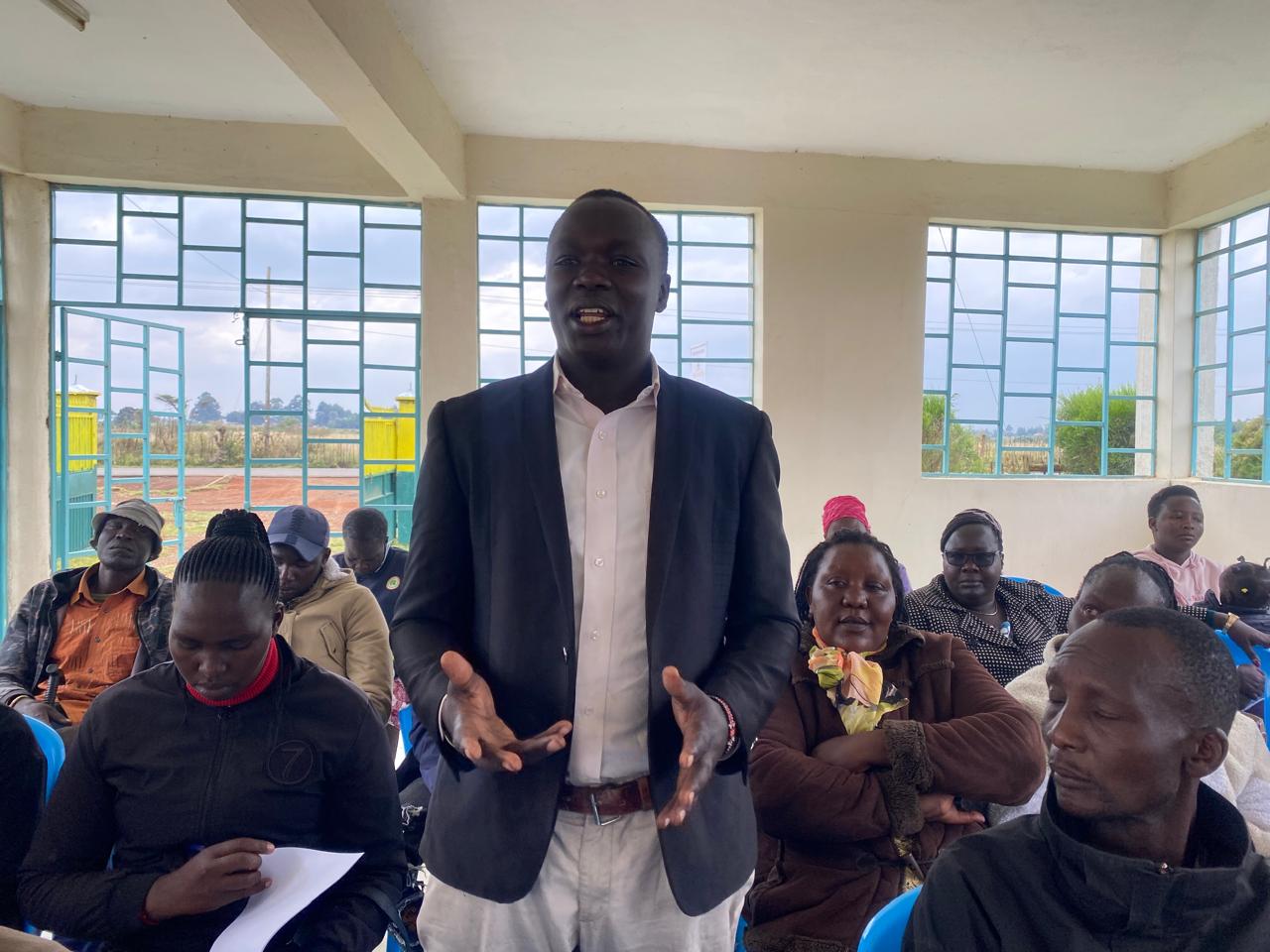
Mr. Sila Boit, Administrator for Lands and Physical Planning, emphasized that the new policy also aims to educate landowners on the benefits of land consolidation.

He explained that consolidating land can lead to economies of scale, better access to modern agricultural practices, and improved farming techniques, all of which can significantly boost productivity.
“This policy is an opportunity to transform how we view and utilize land, ensuring that our agricultural sector remains competitive and sustainable,” Boit said.
In addition, Physical planners Mr John Kilimo and Ms Eve Mureithi led the presentation of the policy to the gathered residents.
Also in attendance were the Sub-County administrators and the ward administrators from the Kesses and Kapseret Sub-Counties, who engaged with the community on the proposed policy. The interactive session allowed residents to ask questions and provide valuable feedback, which will be considered as the policy is finalized.