
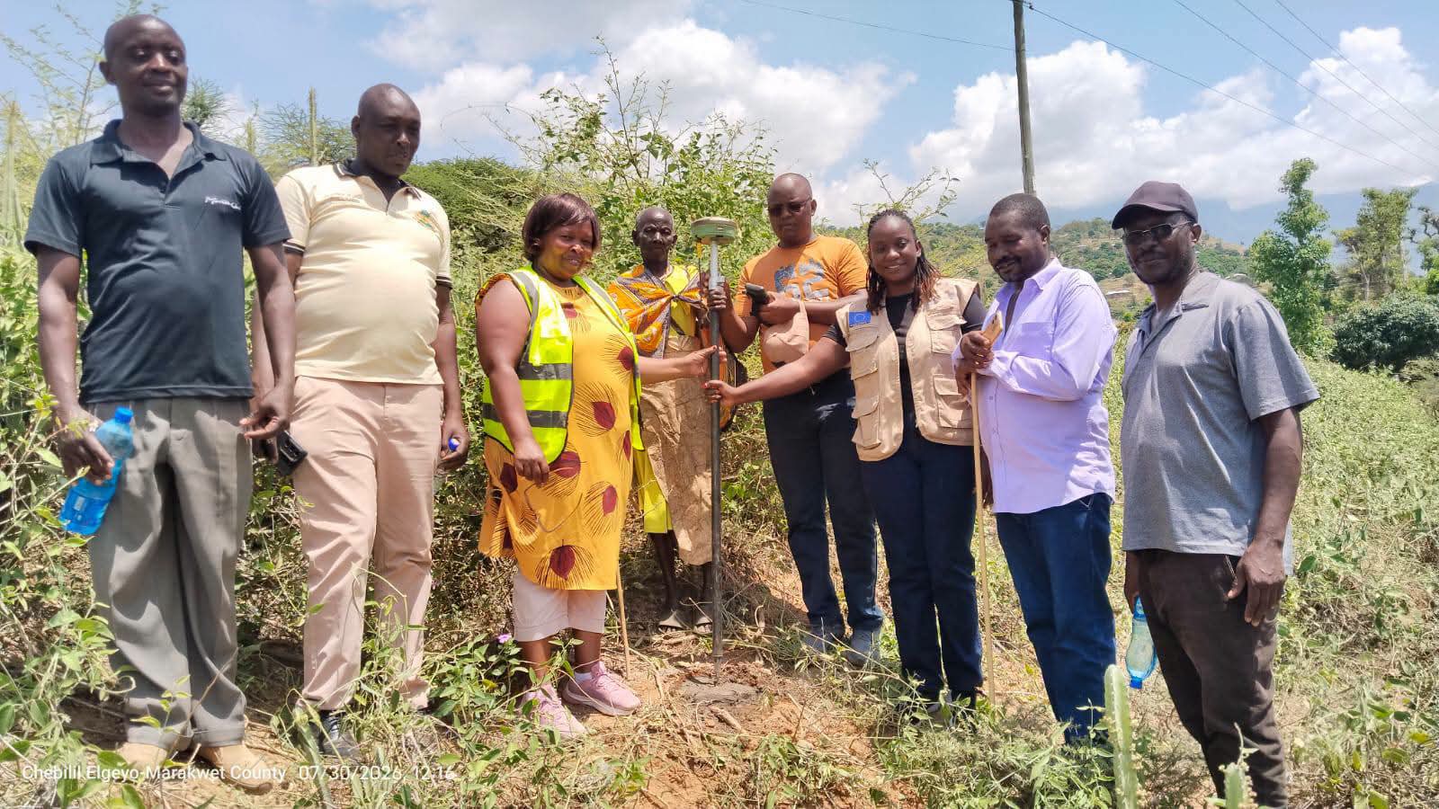
The County Government of Elgeyo Marakwet, in partnership with the State Department for Lands and Physical Planning, the National Land Commission, the Ministry of Interior and National Administration and the Food and Agriculture Organization of the United Nations (FAO) through the Digital Land Governance Programme (DLGP), has completed the demarcation exercise for 13 community lands in the county ahead of registration and title issuance under the aid of Council of Governors-Kenya and European Union in Kenya.
The adjudication exercise was conducted in Endoo Ward, Marakwet East, and targeted Kaben, Marich, Shaban, Kasugut, Talai, Kasike, Kapsogon, Chepturetwo, Kabarsumba, Kibiriem, Kapishoi, Ketut and Mokoro community lands.
Speaking during the exercise, County Executive Committee Member for Lands, Thomas Maiyo, said land conflicts have in the past spilled into political, ethnic and social upheavals, sometimes paralyzing peace and order.
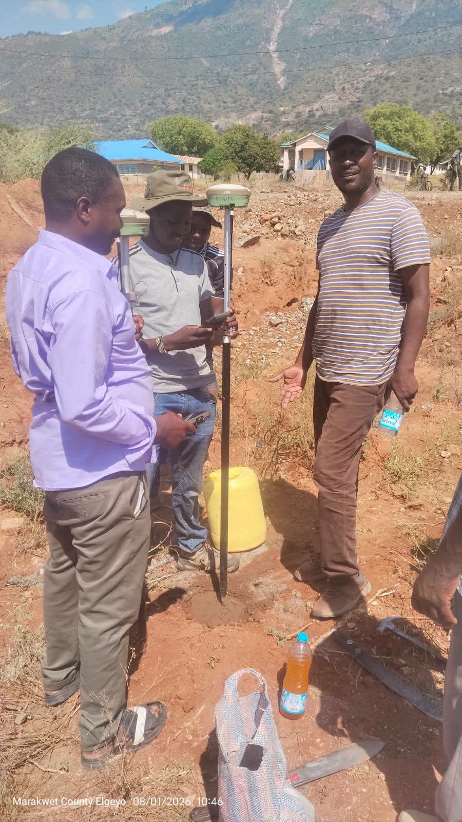
“We have had a series of conflicts and political instability in this region,” he said.
With support from FAO through DLGP, the county government has so far:
- Registered and gazetted 39 communities in the community land inventory.
- Sensitized 39 communities on community land rights.
- Elected and trained Community Land Management Committees for 24 communities.
- Completed fixed boundary demarcation surveys for the 13 communities declared adjudication areas by the Cabinet Secretary for Lands.
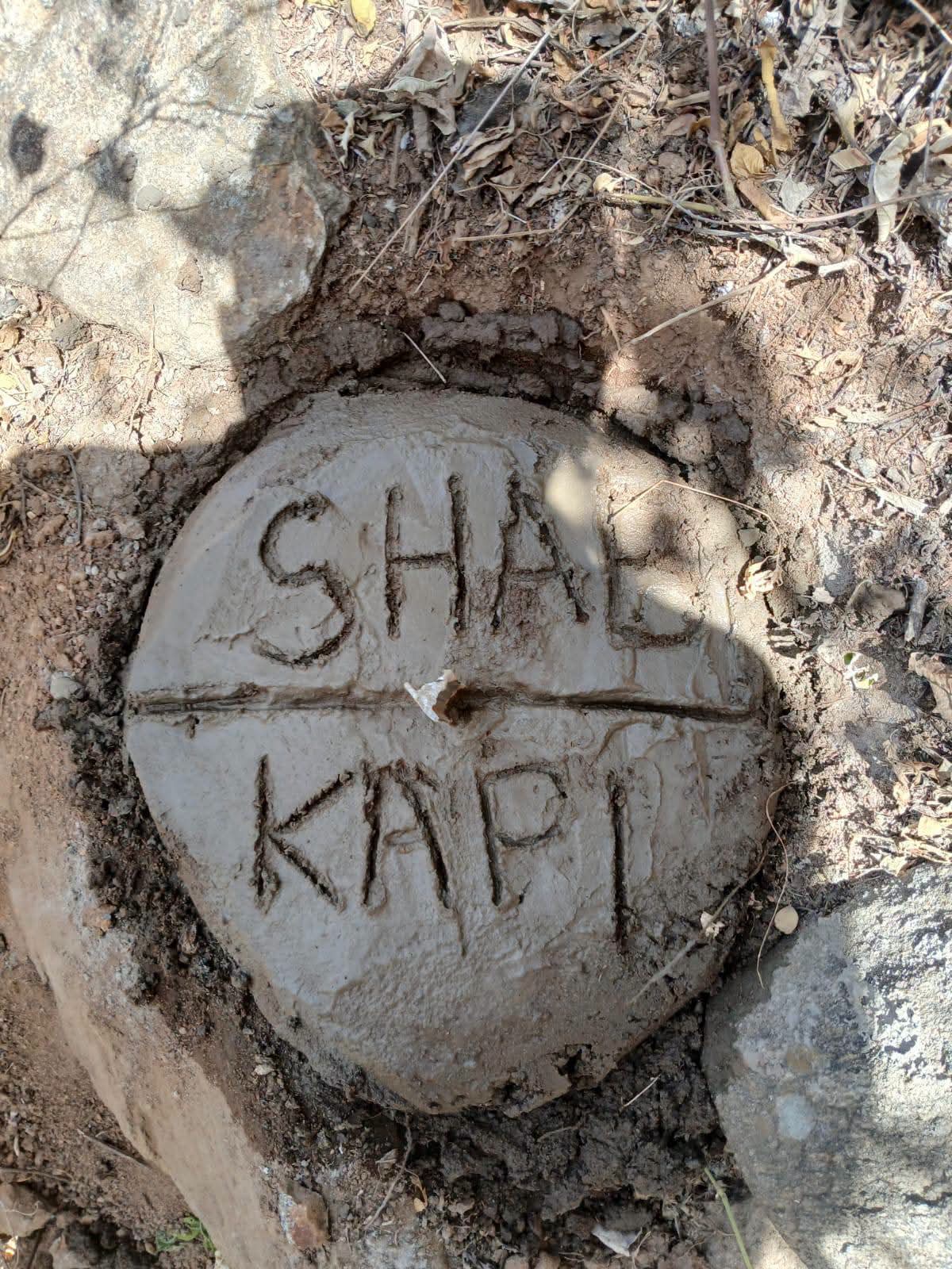
The current phase involves the generation of maps. Upon approval, the processing of community titles and titles for public utilities will commence.
Securing titles will protect community interests, attract investment, and give communities the legal backing to manage and conserve their land.